Read and Interpret Maps training package
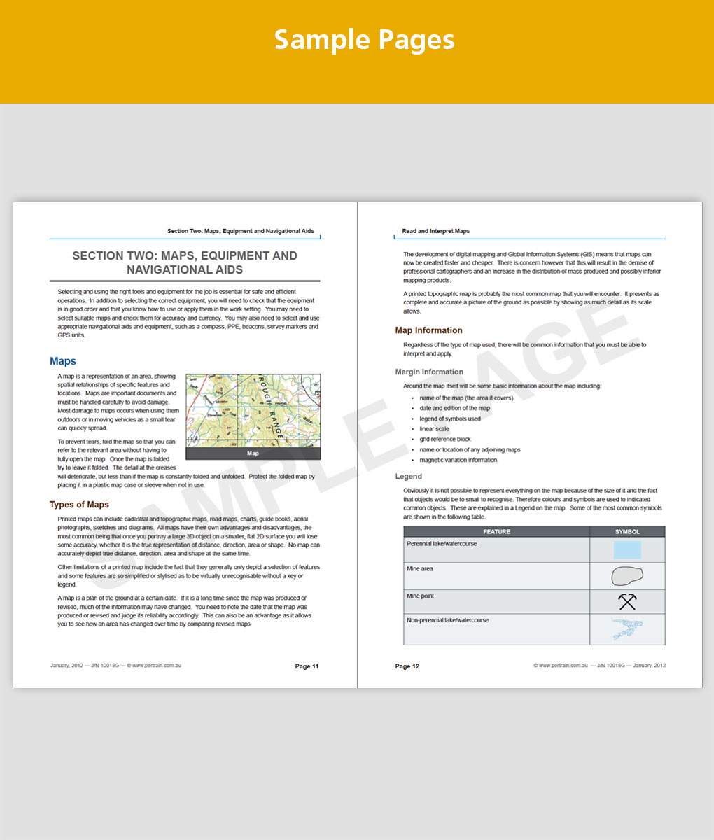
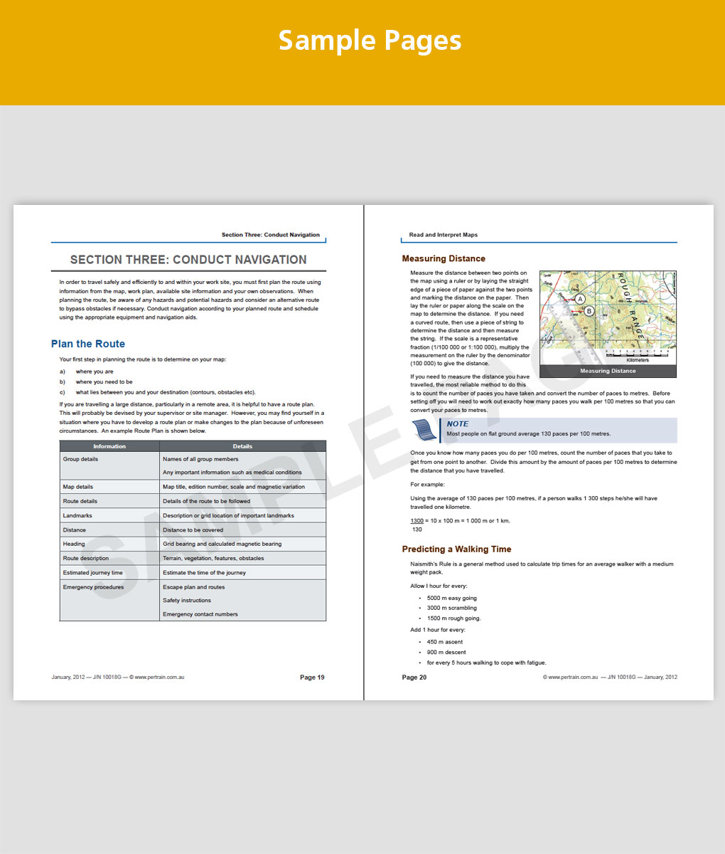
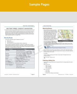
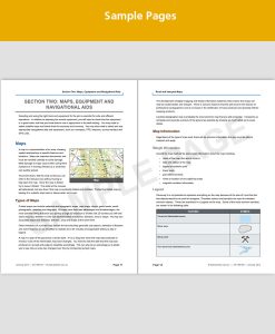
This Read and Interpret Maps (RIISTD201) training package covers reading and interpreting maps in resources and infrastructure industries. It includes: preparing for navigation; planning the route; and conducting navigation.
This unit is appropriate for those working in a operational roles, within:
- Civil construction
- Coal mining
- Drilling
- Extractive industries
- Metalliferous mining
The unit of competency can be found at: http://training.gov.au/Training/Details/RIISTD201
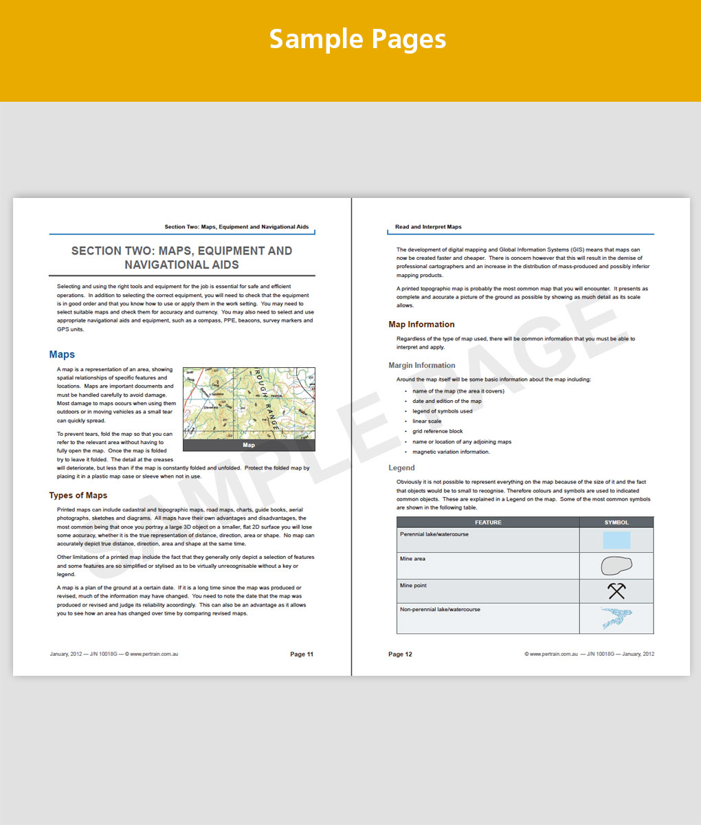
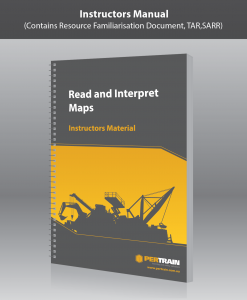
Your Training Pack includes digital copies of the following:
- Resource Familiarisation Document (.docx)
- Statutory and Regulatory Requirements Document (.docx)
- Training and Assessment Record (.docx)
- PowerPoint Presentation with instructor prompts (.ppt)
- Reference Material Training Booklet (.docx)
A note about our assessment tools:
- Mapping of the training and assessment content is contained in the SARR document.
- Our assessment tool (TAR) is designed for people with limited reading and writing skills. The methodology is, if the candidate can perform the task (e.g. interpret maps) then they understand the theory behind it (i.e. where to find the relevant procedures). While the candidate is performing the task, the assessor should ask the suggested questions in the TAR, record the candidate’s response, and keep a copy of all competed documents. This process has been audited and validated by ASQA through our own RTO audits.
Download Your Files
Once you have made your purchase we will create and send a link for you to download the material. This can take up to 2 working days. Printed hard copies are available for an additional $150.

